


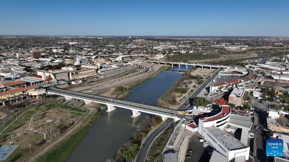
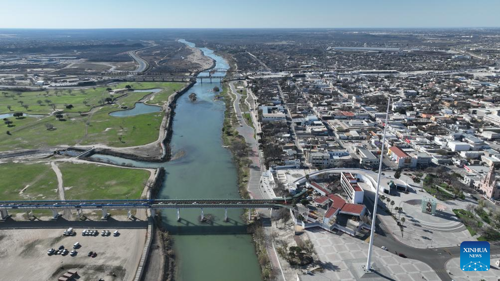
This aerial drone photo taken on Feb. 16, 2025 in Nuevo Laredo, Tamaulipas, Mexico shows an international bridge between Mexico (R) and the United States.
The Mexico and the U.S. share a borderline of over 3,100 kilometers, with the eastern section primarily defined by the Rio Grande River. (Xinhua/Li Mengxin)
An aerial drone photo taken on Feb. 16, 2025 in Piedras Negras, Coahuila, Mexico shows vehicles passing an international bridge between Mexico (R) and the United States.
The Mexico and the U.S. share a borderline of over 3,100 kilometers, with the eastern section primarily defined by the Rio Grande River. (Xinhua/Li Mengxin)
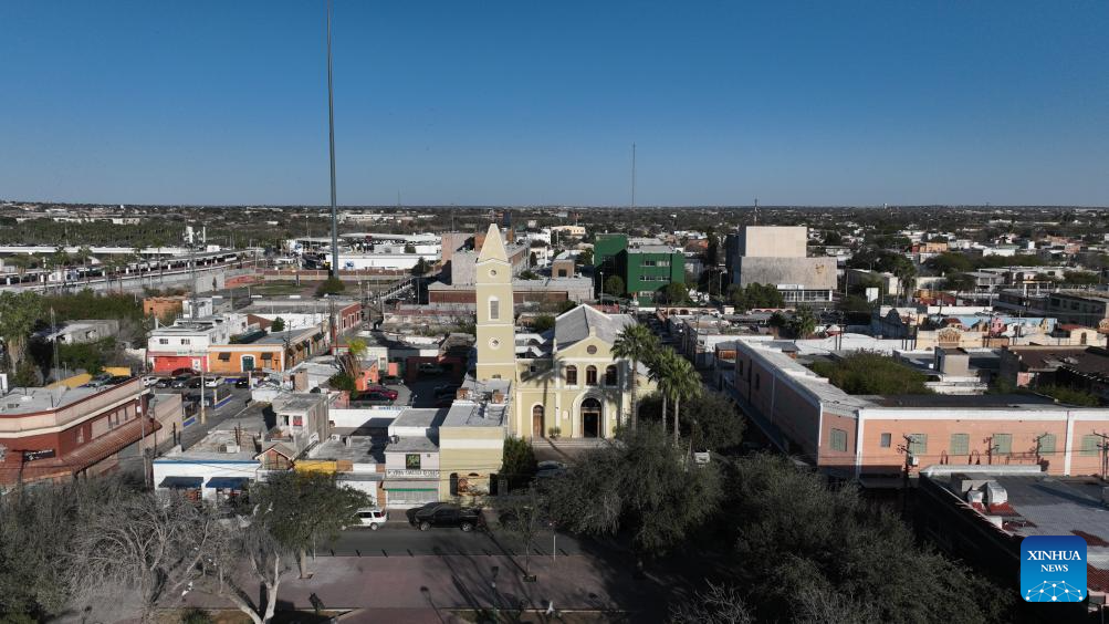
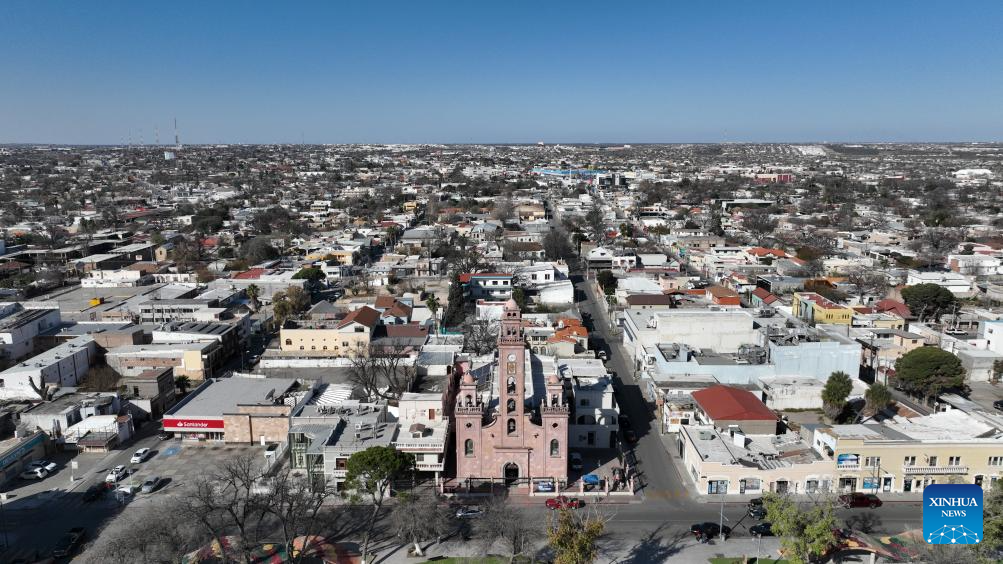
This aerial drone photo taken on Feb. 16, 2025 shows a view of the city center of Nuevo Laredo, Tamaulipas, Mexico.
The Mexico and the U.S. share a borderline of over 3,100 kilometers, with the eastern section primarily defined by the Rio Grande River. (Xinhua/Li Mengxin)
This aerial drone photo taken on Feb. 16, 2025 in Piedras Negras, Coahuila, Mexico shows an international bridge between Mexico (front) and the United States.
The Mexico and the U.S. share a borderline of over 3,100 kilometers, with the eastern section primarily defined by the Rio Grande River. (Xinhua/Li Mengxin)
An aerial drone photo taken on Feb. 16, 2025 shows a city view of Piedras Negras, Coahuila, Mexico.
The Mexico and the U.S. share a borderline of over 3,100 kilometers, with the eastern section primarily defined by the Rio Grande River. (Xinhua/Li Mengxin)
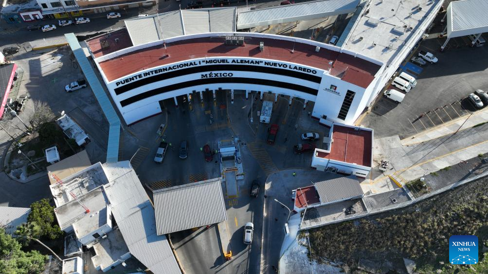
This aerial drone photo taken on Feb. 16, 2025 shows a checkpoint in Nuevo Laredo, Tamaulipas, Mexico.
The Mexico and the U.S. share a borderline of over 3,100 kilometers, with the eastern section primarily defined by the Rio Grande River. (Xinhua/Li Mengxin)
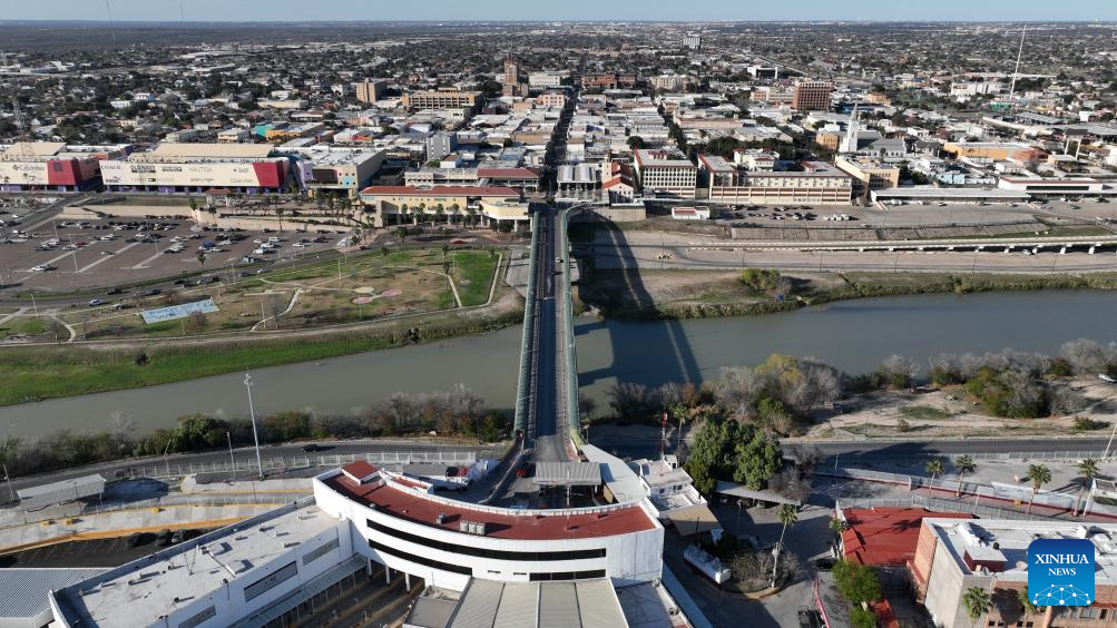
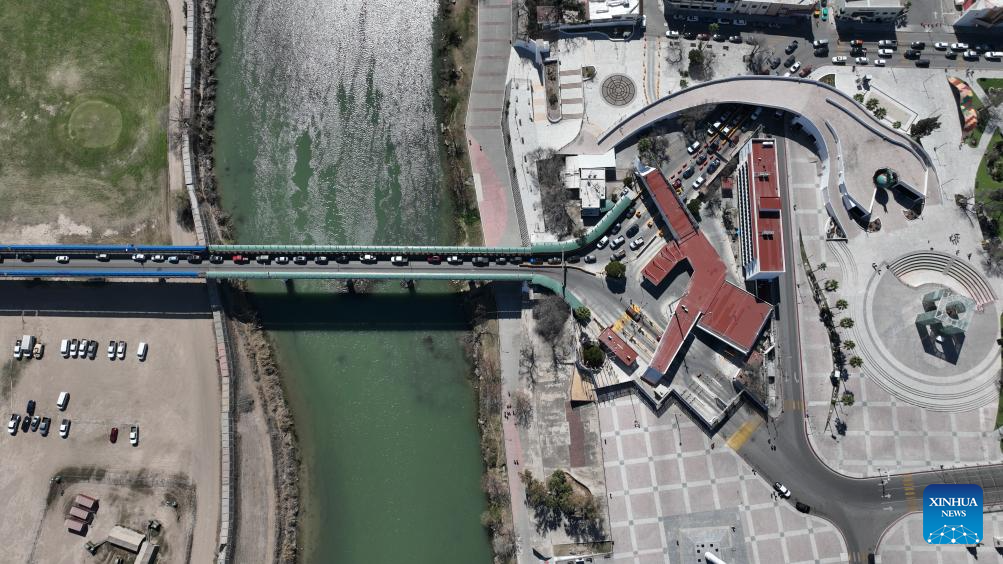
An aerial drone photo taken on Feb. 16, 2025 in Nuevo Laredo, Tamaulipas, Mexico shows an international bridge between Mexico (front) and the United States.
The Mexico and the U.S. share a borderline of over 3,100 kilometers, with the eastern section primarily defined by the Rio Grande River. (Xinhua/Li Mengxin)
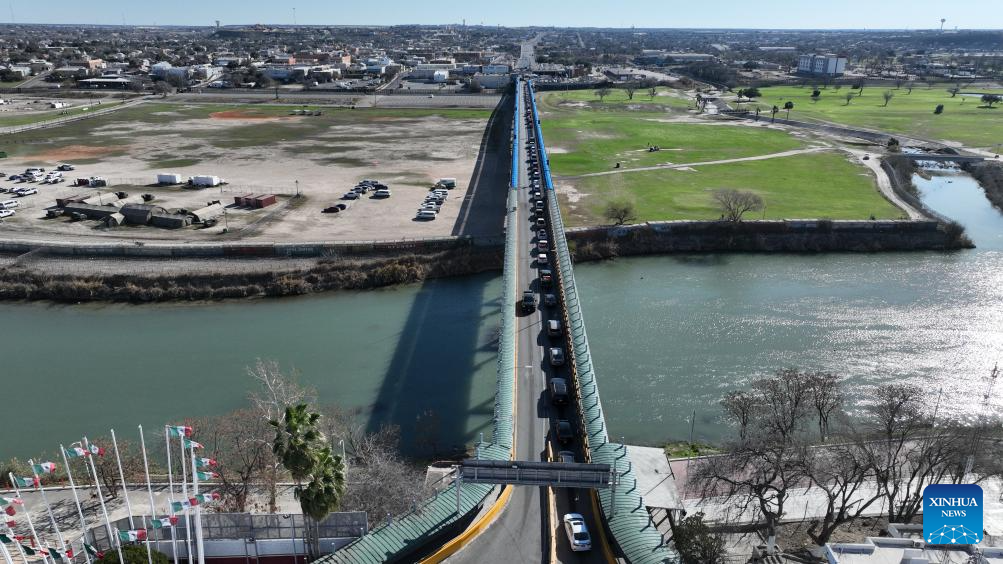
An aerial drone photo taken on Feb. 16, 2025 in Piedras Negras, Coahuila, Mexico shows an international bridge between Mexico (R) and the United States.
The Mexico and the U.S. share a borderline of over 3,100 kilometers, with the eastern section primarily defined by the Rio Grande River. (Xinhua/Li Mengxin)
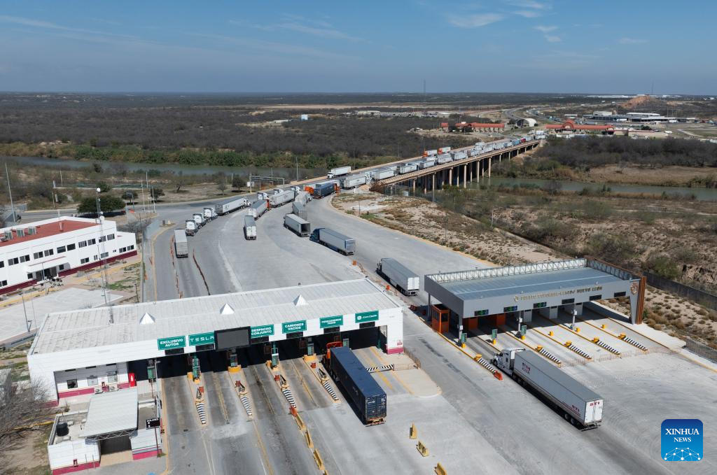
An aerial drone photo taken on Feb. 15, 2025 shows trucks passing a checkpoint near the Laredo-Colombia Solidarity International Bridge in the community of Colombia, Nuevo Leon, Mexico.
The Mexico and the U.S. share a borderline of over 3,100 kilometers, with the eastern section primarily defined by the Rio Grande River. (Xinhua/Li Mengxin)


