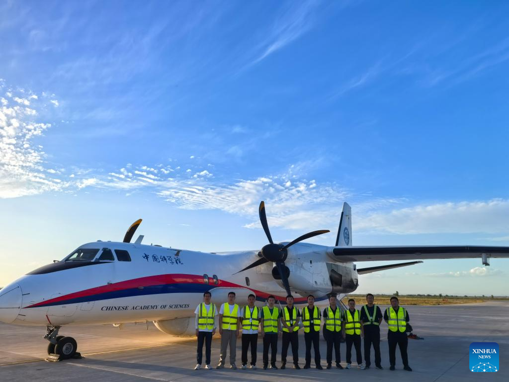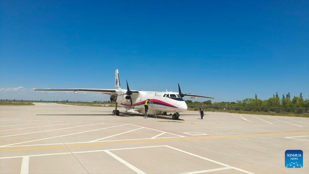
A China's homegrown MA60 remote sensing aircraft is pictured during a scientific operation in Bayannur City, north China's Inner Mongolia Autonomous Region, Aug. 23, 2024. (The Aerospace Information Research Institute under the Chinese Academy of Sciences/Handout via Xinhua )
XI'AN, Sept. 11 (Xinhua) -- China's homegrown MA60 remote sensing aircraft has enabled scientists to conduct scientific studies via a large aerial platform.
The aircraft has filled the country's blank in terms of large and medium-sized remote sensing aircraft featuring long range, multi-tasking ability, multi-function capability and multi-watch windows, according to the Aviation Industry Corporation of China (AVIC), the country's leading aircraft manufacturer.
The aircraft recently conducted a remote sensing experiment in north China's Luanhe River basin concerning the moisture perspective in the soil-vegetation-atmosphere continuum, thereby providing an advanced technical means for ecological conservation and green development, the AVIC said.
This research was conducted by a joint scientific research team featuring multiple institutions, including the National Space Science Center and Aerospace Information Research Institute (AIR) under the Chinese Academy of Sciences (CAS).
Serving as an aeronautic remote sensing system, the aircraft enables scientists to accurately capture the moisture content of vegetation and soil by observing forests, farmland and grassland from a unique aerial view.
A joint project of the CAS and AVIC, the MA60 remote sensing aircraft was developed by AVIC XAC Commercial Aircraft Co., Ltd. in Xi'an, northwest China's Shaanxi Province. It is China's new generation, high performance aerial remote sensing platform, and also the country's most comprehensive aerial scientific experiment platform.
"The MA60 remote sensing aircraft and the onboard aerial remote sensing system together make up the Chinese Aeronautic Remote Sensing System, which has the most comprehensive capabilities in China in this field," said Ding Yaxiu, chief designer of the MA60 remote sensing aircraft.
Based on the MA60 regional aircraft, the MA60 remote sensing model is an aircraft platform designed for conducting scientific experiments, and offers improved performance and additional installed systems compared with the MA60 regional aircraft.
The MA60 remote sensing aircraft could be installed with dozens of advanced types of equipment and different systems. "Thus, it can meet mission demands such data collection, recording, processing and transmission," Ding explained.
This model is capable of serving scientific studies in many fields, including agricultural and forestry data investigation, geological and mineral exploration, hydrology, environmental monitoring and evaluation, natural disaster relief, and surveying and mapping.
"The MA60 remote sensing aircraft is the aerial platform of the Chinese Aeronautic Remote Sensing System, thanks to its considerable airborne capacity. For Earth observation tasks, it has 18 windows consisting of 7 different types, which allow the use of related payloads," said Zhu Jinbiao, deputy director of the Airborne Remote Sensing Center under the AIR.
Compared with satellite remote sensing, aerial remote sensing by aircraft is more flexible in terms of selecting the time, location and means of the observation missions. It also offers unique advantages, namely significant mobility, high resolution, more versatile and flexible load configuration, according to Zhu.
"This aircraft plays an increasingly important role in major national tasks such as scientific research, as well as emergency rescue and disaster reduction efforts," he added.
Currently, two MA60 remote sensing aircraft have been put into operation and they have made remarkable achievements in fields such as agriculture, disaster relief, Qinghai-Xizang Plateau scientific research, and more.
In 2023, MA60 remote sensing aircraft undertook 15 national tasks, including the Yellow River Delta land-and-sea ecological monitoring experiment, the monitoring and protection of world heritage sites, and the acquisition of high-precision digital images based on the BeiDou spatio-temporal benchmark.
These aircraft have also been widely used in conducting research related to the likes of the ecological environment, natural resources and land mapping, according to Zhu.
"Looking ahead, the MA60 remote sensing aircraft will continue to serve Chinese scientists in carrying out scientific exploration and building an aerial remote sensing technical system serving major national tasks," Zhu said. ■

A China's homegrown MA60 remote sensing aircraft is pictured during a scientific operation in Bayannur City, north China's Inner Mongolia Autonomous Region, Aug. 23, 2024. (The Aerospace Information Research Institute under the Chinese Academy of Sciences/Handout via Xinhua )


