FlyOverChina | A glimpse of NE China's green transformation-Xinhua
FlyOverChina | A glimpse of NE China's green transformation
Source: Xinhua
Editor: huaxia
2024-08-15 15:15:31
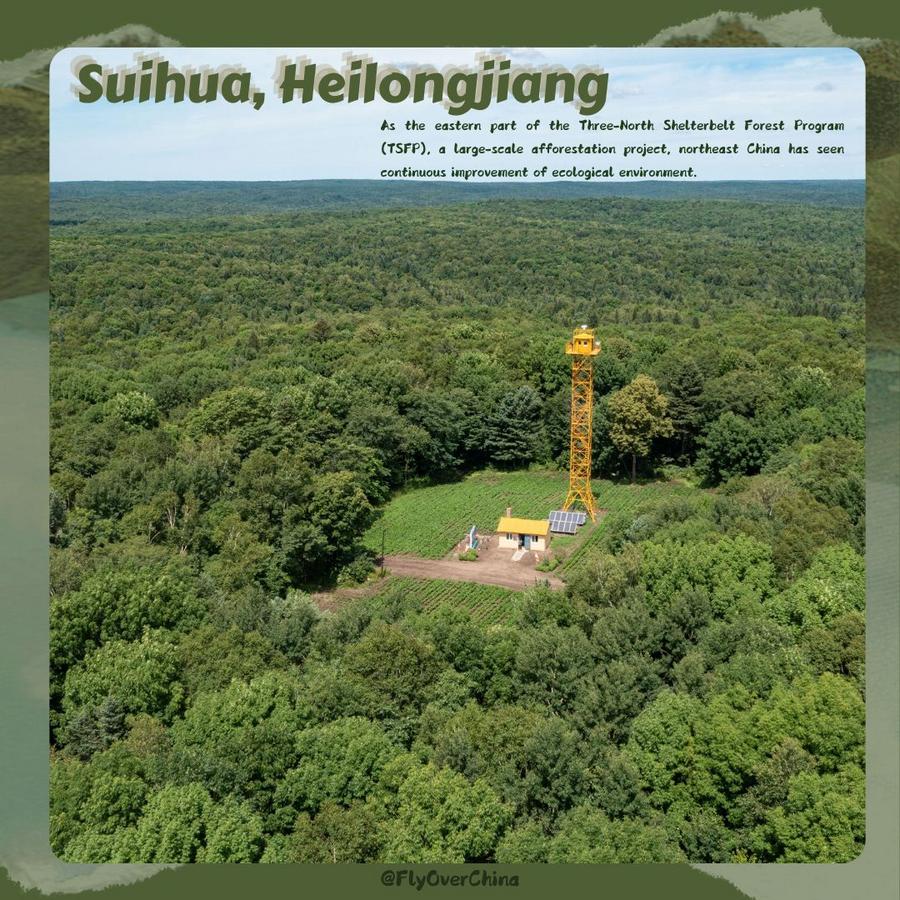
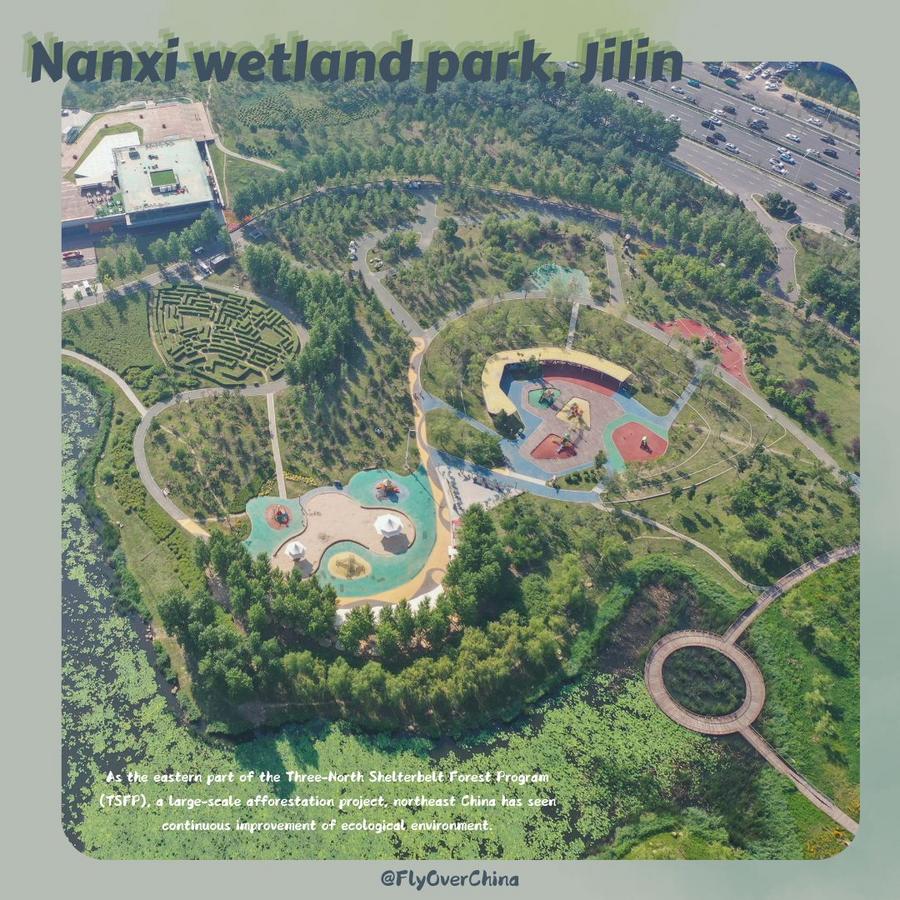
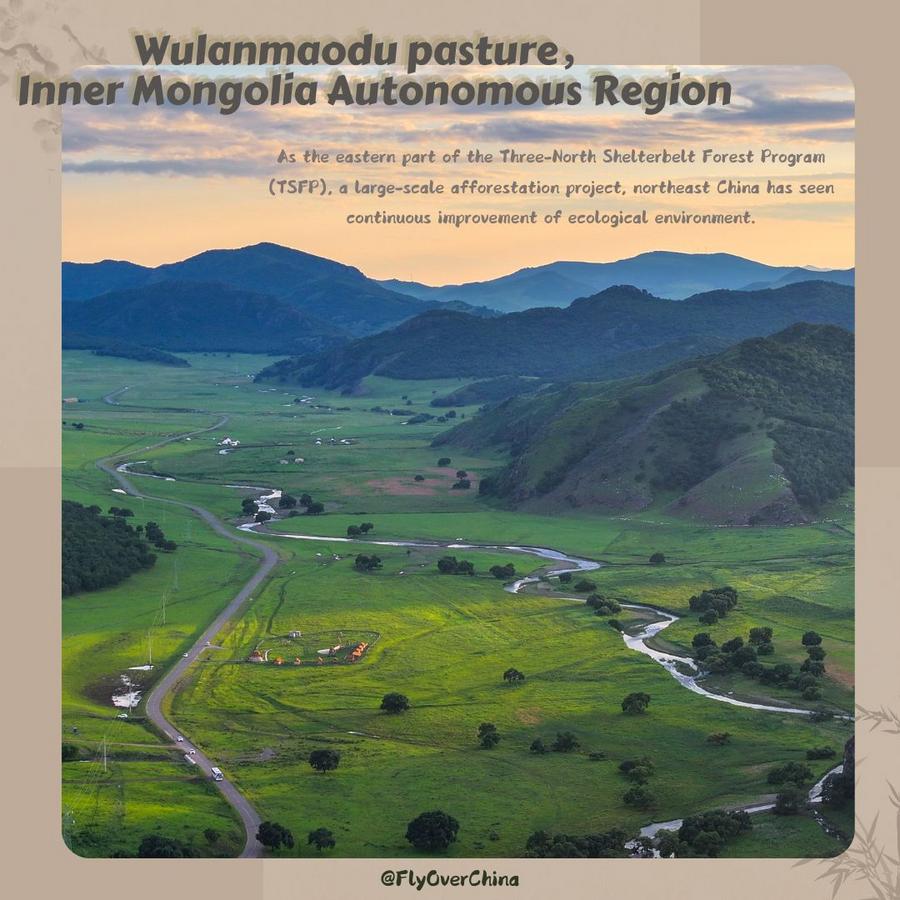
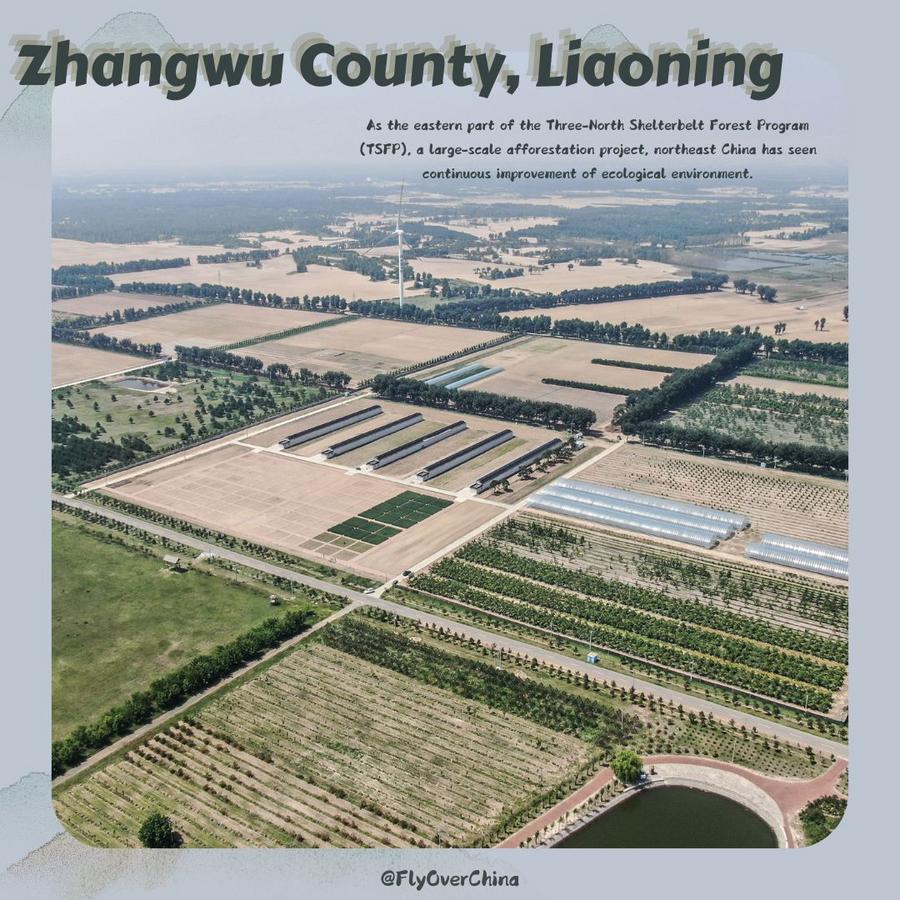
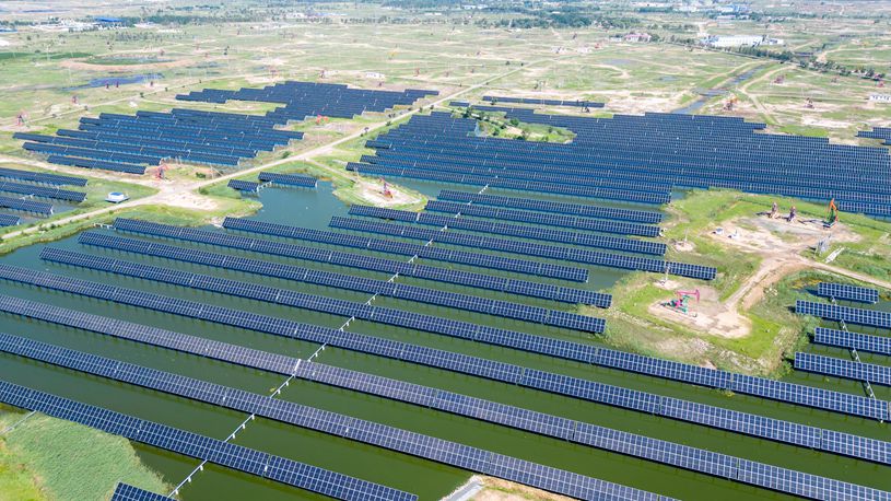
BEIJING, Aug. 15 (Xinhua) -- As the eastern part of the Three-North Shelterbelt Forest Program (TSFP), a large-scale afforestation project, northeast China has seen continuous improvement of ecological environment. China proposed in June 2023 to turn the TSFP into a fully functional and unbreakable "green Great Wall" and ecological security barrier in northern China. Launched in 1978, the TSFP aims to rehabilitate and green desert-prone lands and desertified areas in northwest, north and northeast China.
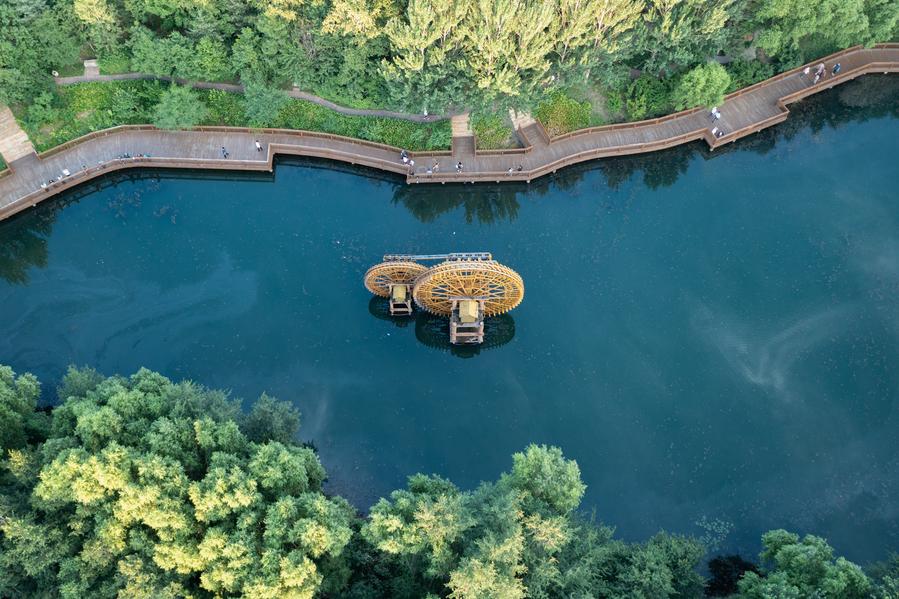
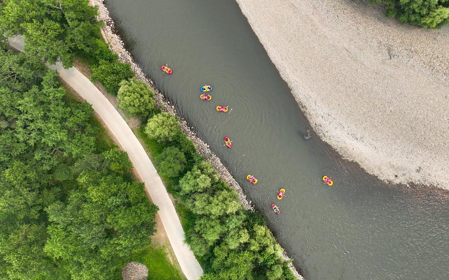
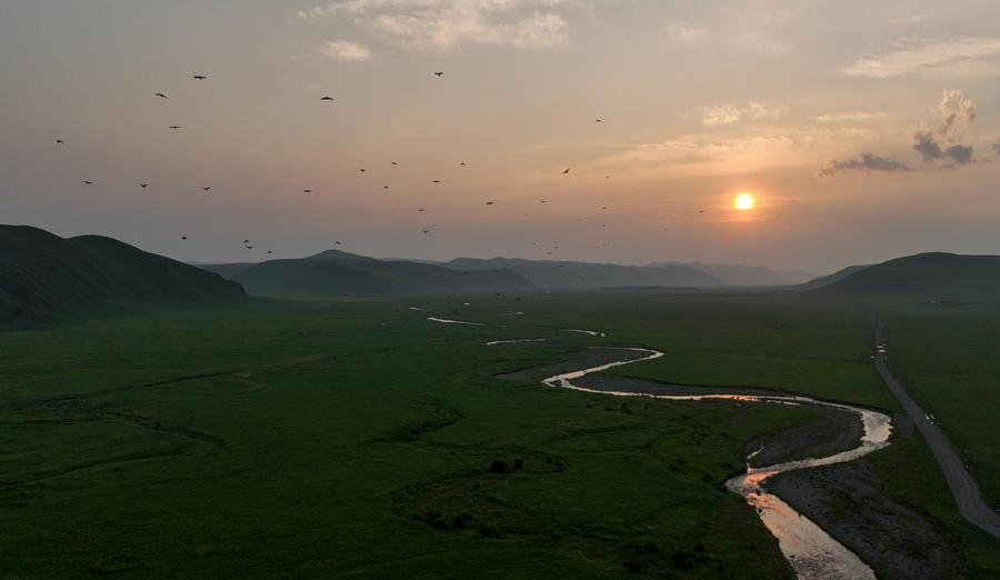
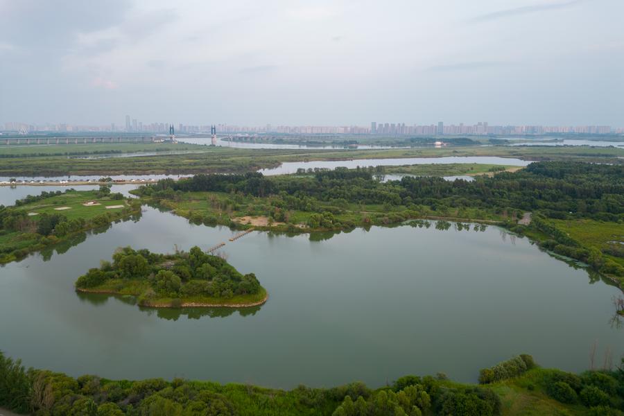
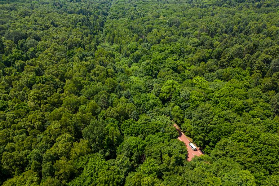
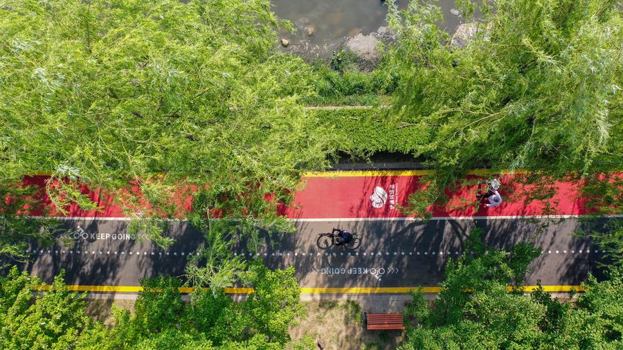
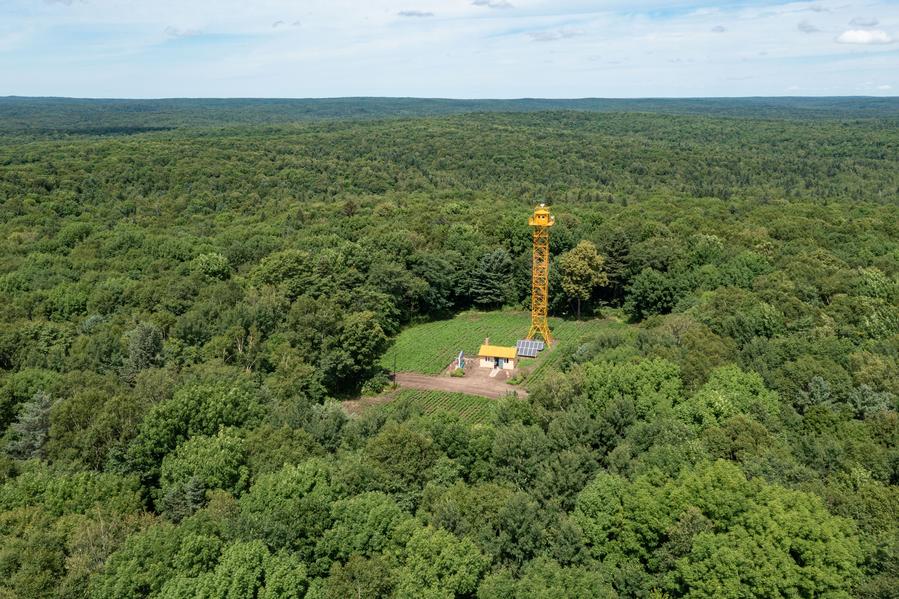
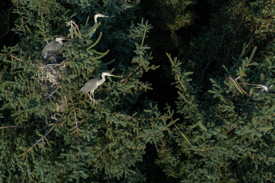
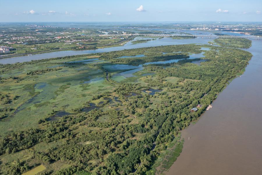
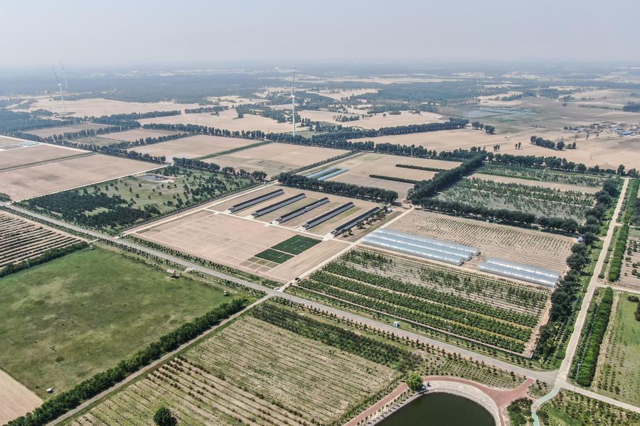
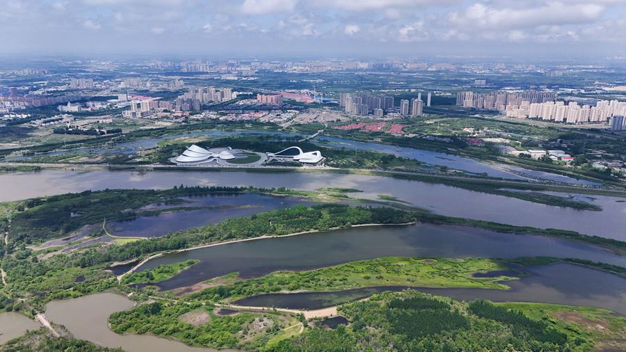
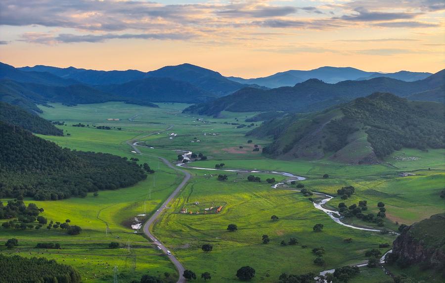
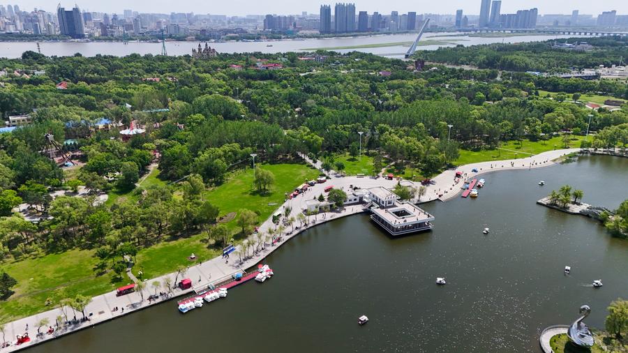
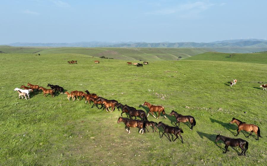
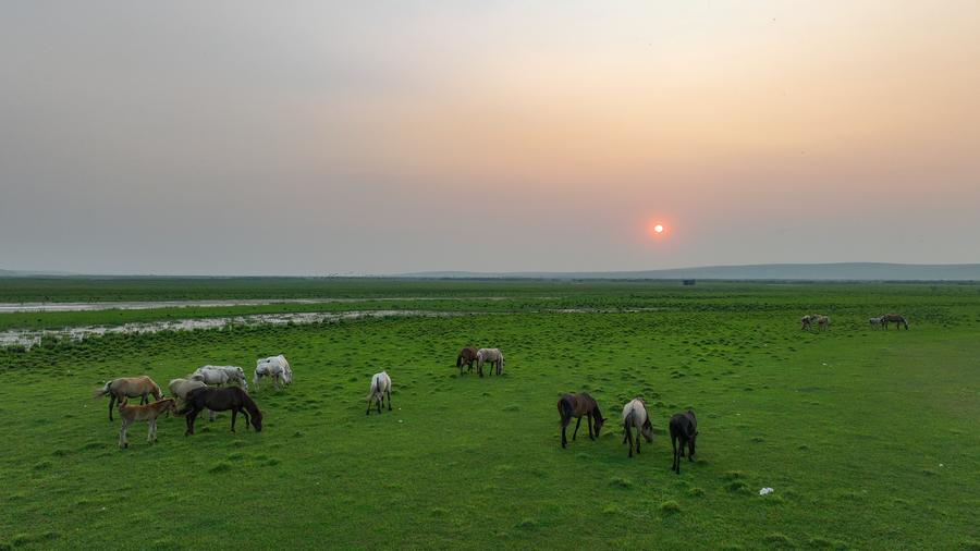
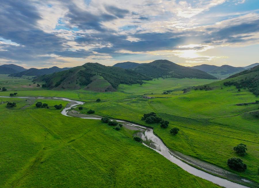
An aerial drone photo taken on July 25, 2024 shows people walking in a park in Suihua City, northeast China's Heilongjiang Province. (Xinhua/Xie Jianfei)An aerial drone photo taken on July 6, 2024 shows tourists drifting on a lake in Zhalantun City, north China's Inner Mongolia Autonomous Region. (Xinhua/Bei He)An aerial drone photo taken on July 18, 2024 shows sunset scenery at the Wulanmaodu pasture, north China's Inner Mongolia Autonomous Region. (Xinhua/Bei He)An aerial drone photo taken on July 21, 2024 shows a wetland in Songhua River in Harbin, northeast China's Heilongjiang Province. (Xinhua/Zhang Tao)An aerial drone photo taken on July 11, 2024 shows a vehicle running in Shangganling stream forest park in Yichun, northeast China's Heilongjiang Province. (Xinhua/Zhang Tao)An aerial drone photo taken on July 2, 2024 shows greenery along Yitong River in Changchun, northeast China's Jilin Province. (Xinhua/Zhang Nan)An aerial drone photo taken on July 26, 2024 shows forest scenery in Suihua City, northeast China's Heilongjiang Province. (Xinhua/Xie Jianfei)An aerial drone photo taken on July 24, 2024 shows herons in a forest in Heihe City, northeast China's Heilongjiang Province. (Xinhua/Xie Jianfei)An aerial drone photo taken on Aug. 13, 2024 shows a view in Alejin Island Wetland Park in Harbin, northeast China's Heilongjiang Province. (Xinhua/Xie Jianfei)An aerial drone photo taken on May 30, 2024 shows the Zhanggutai base of the sand control and utilization research institute of the Liaoning Academy of Agricultural Sciences in Zhangwu County, northeast China's Liaoning Province. (Xinhua/Pan Yulong)An aerial drone photo taken on June 4, 2024 shows a view of Sun Island national wetland park in Harbin, northeast China's Heilongjiang Province. (Xinhua/Wang Song)An aerial drone photo taken on Aug. 8, 2024 shows scenery at the Wulanmaodu pasture, north China's Inner Mongolia Autonomous Region. (Xinhua/Lian Zhen)An aerial drone photo taken on June 4, 2024 shows a view in Sun Island scenic spot in Harbin, northeast China's Heilongjiang Province. (Xinhua/Wang Song)An aerial drone photo taken on July 18, 2024 shows horses grazing at the Wulanmaodu pasture, north China's Inner Mongolia Autonomous Region. (Xinhua/Bei He)An aerial drone photo taken on July 6, 2024 shows people visiting Xiushui national wetland park in Zhalantun City, north China's Inner Mongolia Autonomous Region. (Xinhua/Bei He)An aerial drone photo taken on July 4, 2024 shows sunset scenery in Chen Barag Banner of Hulun Buir, north China's Inner Mongolia Autonomous Region. (Xinhua/Bei He)An aerial drone photo taken on Aug. 8, 2024 shows scenery at the Wulanmaodu pasture, north China's Inner Mongolia Autonomous Region. (Xinhua/Lian Zhen)■