
An aerial drone photo taken on June 23, 2024 shows the buildings along Tanglai Canal in Yinchuan, northwest China's Ningxia Hui Autonomous Region. (Xinhua/Wang Peng)
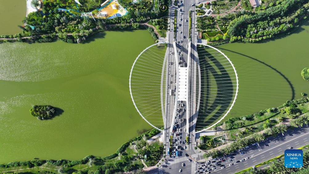
An aerial drone photo taken on June 23, 2024 shows the Fenghuang Bridge over the Diannong River in Yinchuan, northwest China's Ningxia Hui Autonomous Region. (Xinhua/Wang Peng)
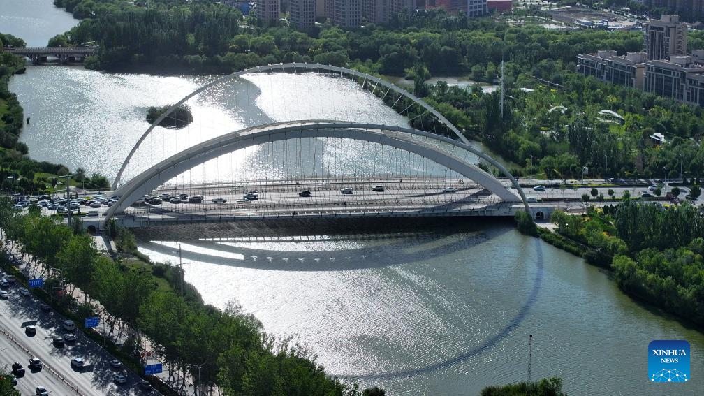
An aerial drone photo taken on June 23, 2024 shows the Fenghuang Bridge over the Diannong River in Yinchuan, northwest China's Ningxia Hui Autonomous Region. (Xinhua/Wang Peng)
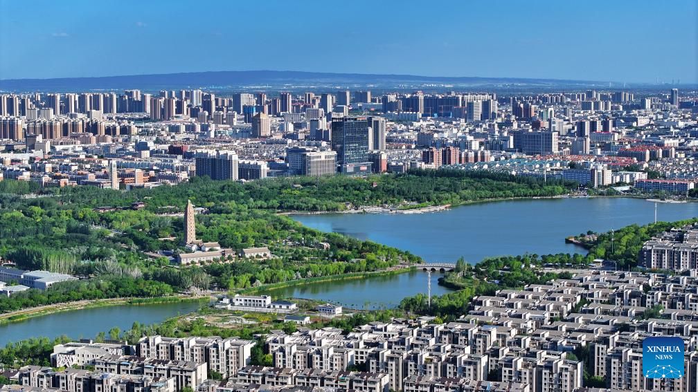
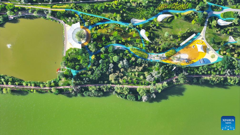
An aerial drone photo taken on June 23, 2024 shows the Haibao Lake in Yinchuan, northwest China's Ningxia Hui Autonomous Region. (Xinhua/Wang Peng)

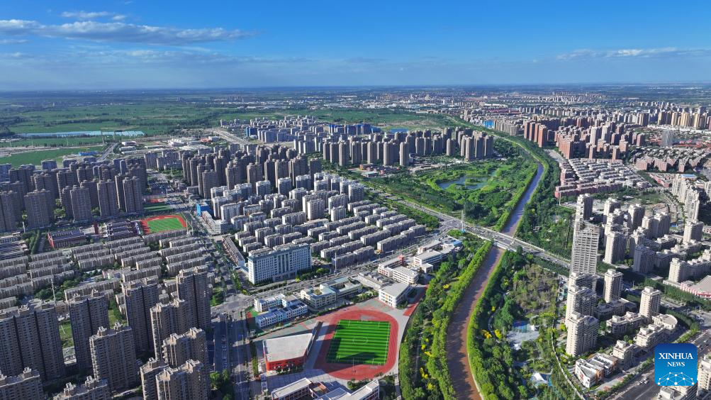
An aerial drone photo taken on June 23, 2024 shows the Diannong River in Yinchuan, northwest China's Ningxia Hui Autonomous Region. (Xinhua/Wang Peng)
An aerial drone photo taken on June 23, 2024 shows the Diannong River in Yinchuan, northwest China's Ningxia Hui Autonomous Region. (Xinhua/Wang Peng)
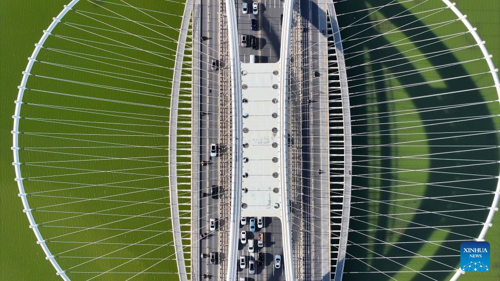
An aerial drone photo taken on June 23, 2024 shows the Fenghuang Bridge over the Diannong River in Yinchuan, northwest China's Ningxia Hui Autonomous Region. (Xinhua/Wang Peng)
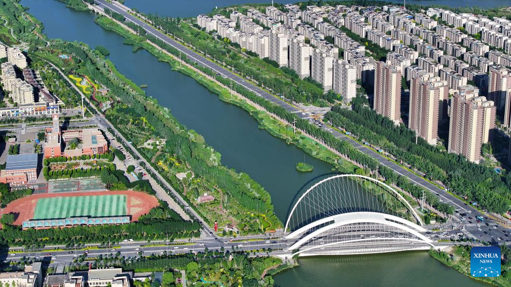
An aerial drone photo taken on June 23, 2024 shows a view of the Diannong River in Yinchuan, northwest China's Ningxia Hui Autonomous Region. (Xinhua/Wang Peng)


